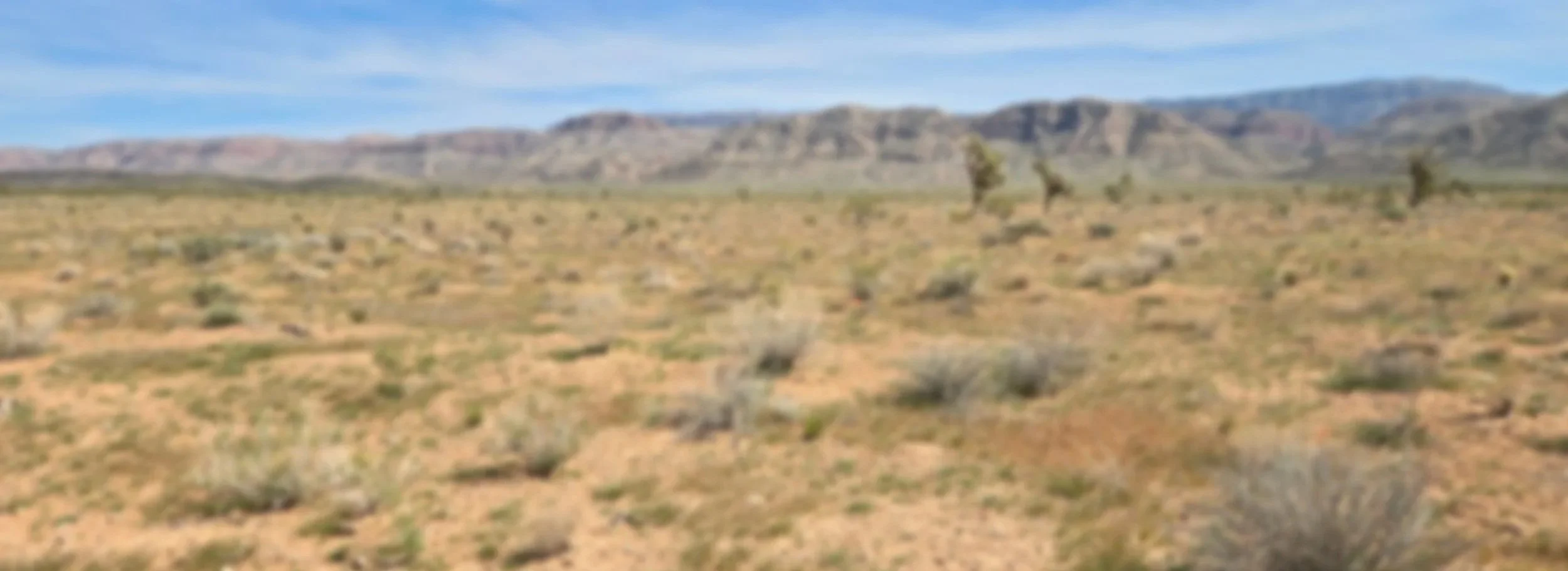
Restoring Arizona’s Colorado River Basin Conservation Area (CRBCA) RCPP
With over $24 million in NRCS Regional Conservation Partnership Program (RCPP) funding awarded (read the PRESS RELEASE), this landscape-level effort is focused on real, practical improvements that support both the land and the people who rely on it.
Program partners—AACD & Conservation Districts, Pheasants & Quail Forever, and the Arizona Game & Fish Department—are working directly with producers to get conservation dollars on the ground and bring back healthy native plant communities and strengthen working lands.
Project goals include:
Restore and enhance rangelands and forest lands across Arizona.
Remove invasive woody vegetation to reduce catastrophic wildfire risk.
Improve soil health, water quality, and grazing efficiency.
Increase water availability and support watershed resilience.
Strengthen wildlife habitat, including connectivity corridors.
Who Can Apply?
Permittees on State or Federal Lands
Private Land Owners
How to Apply
Download the PDF application, fill it out, and email it to:
AZ-QFRCPP@quailforever.org
Application Period
Applications are currently being accepted year-round beginning December 15, 2025!
After You Apply
Once your application is submitted, it will be reviewed, and your eligibility will be determined.
A member of AACD’s technical team will conduct a site visit, and work with you to develop a conservation plan.
Your application will then be ranked.
Eligible Practices
Brush Management (314)
Woody Residue Treatment (384)
Fence (382)
Prescribed Grazing (528)
Pumping Plant (533)
Livestock Pipeline (516)
Watering Facility (614)
Water Harvesting Catchments (636)
Water Well (642)
Restoring of Rare or Declining Natural Communities (643)
Upland Wildlife Habitat Management (645)
Learn more about Arizona’s CRBCA RCPP Application Process
FAQs
Will I have to give access to partners in perpetuity?
No. Partners will only access your property during and for the purpose of the project.
After I submit my application, when will I hear from someone?
You will hear from someone within 30 days of the application period closing.
What about overlapping projects/practices?
Producers cannot receive funding for practices already covered under another contract or agreement. However, if a separate parcel is not included in that existing agreement, funds may be used on that parcel.
Can program funds be used towards archaeology?
Yes! You can apply to have funding support cultural resource surveys through this program.
Have other questions? Email them to programs@aacd1944.com
Program Partners


Program Collaborators
